Forest Lane bridge
Introduction
The photograph on this page of Forest Lane bridge by Jonathan Thacker as part of the Geograph project.
The Geograph project started in 2005 with the aim of publishing, organising and preserving representative images for every square kilometre of Great Britain, Ireland and the Isle of Man.

There are currently over 7.5m images from over 14,400 individuals and you can help contribute to the project by visiting https://www.geograph.org.uk
Forest Lane bridge
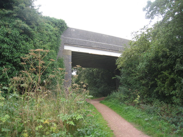
Image: © Jonathan Thacker Taken: 30 Jul 2010
The Southwell Trail passes beneath Forest Lane. The Southwell Trail follows the course of the former LMS/LNER Joint railway from Farnsfield Junction to Ollerton. The line opened in 1931 and this section closed in 1963.
Images are licensed for reuse under creativecommons.org/licenses/by-sa/2.0
Image Location
Latitude
53.12563
Longitude
-1.038015