Green Willows, Cwmbran
Introduction
The photograph on this page of Green Willows, Cwmbran by Jaggery as part of the Geograph project.
The Geograph project started in 2005 with the aim of publishing, organising and preserving representative images for every square kilometre of Great Britain, Ireland and the Isle of Man.

There are currently over 7.5m images from over 14,400 individuals and you can help contribute to the project by visiting https://www.geograph.org.uk
Green Willows, Cwmbran
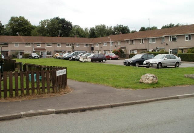
Image: © Jaggery Taken: 30 Jul 2010
Houses in an L-shaped alignment are at the southern end of Green Willows, viewed from the edge of Brangwyn Avenue. The northern end of Green Willows, about 450 metres behind the camera, connects with Oakfield Road.
Images are licensed for reuse under creativecommons.org/licenses/by-sa/2.0
Image Location
Latitude
51.635908
Longitude
-3.015741