The Fallow Buck
Introduction
The photograph on this page of The Fallow Buck by Martin Addison as part of the Geograph project.
The Geograph project started in 2005 with the aim of publishing, organising and preserving representative images for every square kilometre of Great Britain, Ireland and the Isle of Man.

There are currently over 7.5m images from over 14,400 individuals and you can help contribute to the project by visiting https://www.geograph.org.uk
The Fallow Buck
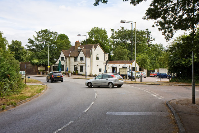
Image: © Martin Addison Taken: 26 Jul 2010
Located on Clay Hill at the junction with Strayfield Road (on the right) and Theobalds Park Road. The building dates to the 17th century and has a number of 19th century modifications. It is Grade II listed.
Images are licensed for reuse under creativecommons.org/licenses/by-sa/2.0
Image Location
Latitude
51.672769
Longitude
-0.094215