Midsomer Norton: the River Somer alongside the High Street
Introduction
The photograph on this page of Midsomer Norton: the River Somer alongside the High Street by Chris Downer as part of the Geograph project.
The Geograph project started in 2005 with the aim of publishing, organising and preserving representative images for every square kilometre of Great Britain, Ireland and the Isle of Man.

There are currently over 7.5m images from over 14,400 individuals and you can help contribute to the project by visiting https://www.geograph.org.uk
Midsomer Norton: the River Somer alongside the High Street
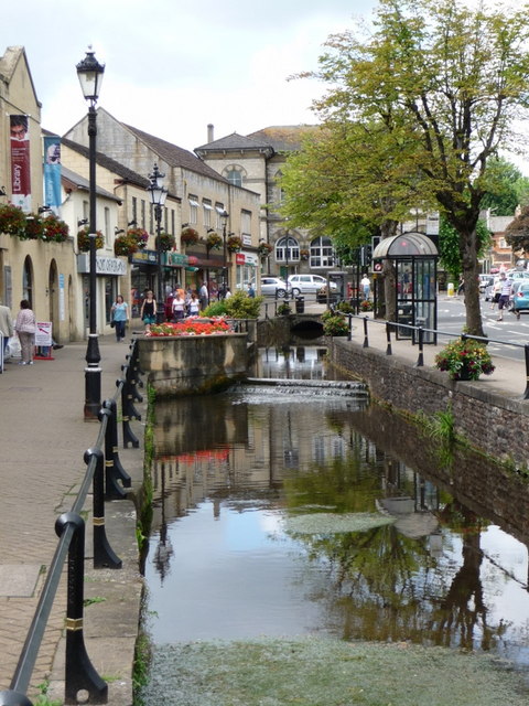
Image: © Chris Downer Taken: 3 Jul 2010
The river runs between the main carriageway (and pavements) of the High Street and a further walkway to the south, separating the two lines of shops. The post office can be seen beyond the floral display.
Images are licensed for reuse under creativecommons.org/licenses/by-sa/2.0
Image Location
Latitude
51.285945
Longitude
-2.481458