St Luke's Early Years Centre
Introduction
The photograph on this page of St Luke's Early Years Centre by Stephen Craven as part of the Geograph project.
The Geograph project started in 2005 with the aim of publishing, organising and preserving representative images for every square kilometre of Great Britain, Ireland and the Isle of Man.

There are currently over 7.5m images from over 14,400 individuals and you can help contribute to the project by visiting https://www.geograph.org.uk
St Luke's Early Years Centre
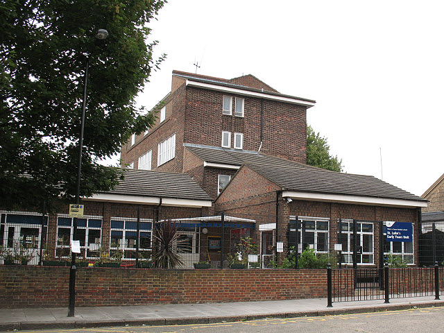
Image: © Stephen Craven Taken: 29 Jul 2010
Buildings on Glenworth Avenue, part of the same school complex as Image and Image
Images are licensed for reuse under creativecommons.org/licenses/by-sa/2.0
Image Location


Leaflet Map data © OpenStreetMap
Latitude
51.48992
Longitude
-0.005769