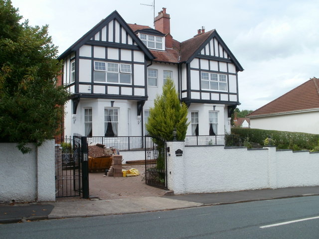
Penderyn, 48 Fields Park Road, Newport
Introduction
The photograph on this page of Penderyn, 48 Fields Park Road, Newport by Jaggery as part of the Geograph project.
The Geograph project started in 2005 with the aim of publishing, organising and preserving representative images for every square kilometre of Great Britain, Ireland and the Isle of Man.
There are currently over 7.5m images from over 14,400 individuals and you can help contribute to the project by visiting https://www.geograph.org.uk

Image: © Jaggery Taken: 25 Jul 2010
In common with almost all streets in Newport, houses in Fields Park Road now have numbers. Kelly's Directory of 1901 shows no numbers for this and adjacent houses, only names. It is interesting to speculate which of several Penderyns inspired the name. Penderyn is a village Image in Rhondda Cynon Taf, or a type of whisky made in Wales since the 19th century. Another possibility is Dic Penderyn, born 1808, who was treated as a martyr across Britain after he was hanged in 1831 on what were widely considered to be trumped-up charges of stabbing a soldier during the 1831 Merthyr Uprising.

