Houses, Glaisdale
Introduction
The photograph on this page of Houses, Glaisdale by Chris Allen as part of the Geograph project.
The Geograph project started in 2005 with the aim of publishing, organising and preserving representative images for every square kilometre of Great Britain, Ireland and the Isle of Man.

There are currently over 7.5m images from over 14,400 individuals and you can help contribute to the project by visiting https://www.geograph.org.uk
Houses, Glaisdale
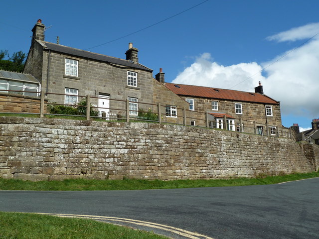
Image: © Chris Allen Taken: 21 Jul 2010
The one on the right was probably a former public house with a bracket for a sign, car park at the back and windows that look like a toilet block.
Images are licensed for reuse under creativecommons.org/licenses/by-sa/2.0
Image Location
Latitude
54.438653
Longitude
-0.806607