Concrete ramp to holloway
Introduction
The photograph on this page of Concrete ramp to holloway by Derek Harper as part of the Geograph project.
The Geograph project started in 2005 with the aim of publishing, organising and preserving representative images for every square kilometre of Great Britain, Ireland and the Isle of Man.

There are currently over 7.5m images from over 14,400 individuals and you can help contribute to the project by visiting https://www.geograph.org.uk
Concrete ramp to holloway
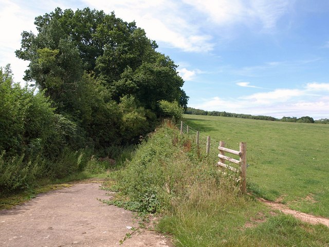
Image: © Derek Harper Taken: 26 Jul 2010
See Image, taken on the other side of the Barford road. Here a ramp leads down to the old hollow way, illustrating the difference in levels. The way now runs between field boundaries http://webapp1.somerset.gov.uk/her/details.asp?prn=10510 .
Images are licensed for reuse under creativecommons.org/licenses/by-sa/2.0
Image Location
Latitude
51.10804
Longitude
-3.099544