Parkland, Enmore
Introduction
The photograph on this page of Parkland, Enmore by Derek Harper as part of the Geograph project.
The Geograph project started in 2005 with the aim of publishing, organising and preserving representative images for every square kilometre of Great Britain, Ireland and the Isle of Man.

There are currently over 7.5m images from over 14,400 individuals and you can help contribute to the project by visiting https://www.geograph.org.uk
Parkland, Enmore
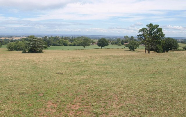
Image: © Derek Harper Taken: 26 Jul 2010
Part of the landscape park to Enmore Castle, seen from the Barford road. The trees on the right sit in a hollow way, thought to be an earlier route of the Bridgwater to Quantocks turnpike http://webapp1.somerset.gov.uk/her/details.asp?prn=10510 . The route lies through the gateway from this was taken, but the area close to the road has been filled in.
Images are licensed for reuse under creativecommons.org/licenses/by-sa/2.0
Image Location
Latitude
51.108244
Longitude
-3.096977