Cricket Memorial Slindon
Introduction
The photograph on this page of Cricket Memorial Slindon by Roger Pagram as part of the Geograph project.
The Geograph project started in 2005 with the aim of publishing, organising and preserving representative images for every square kilometre of Great Britain, Ireland and the Isle of Man.

There are currently over 7.5m images from over 14,400 individuals and you can help contribute to the project by visiting https://www.geograph.org.uk
Cricket Memorial Slindon
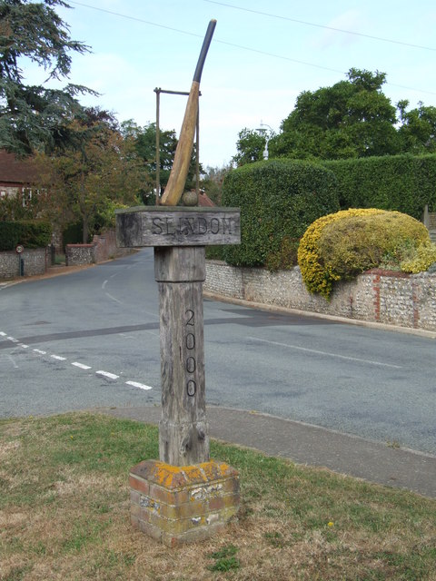
Image: © Roger Pagram Taken: 4 Oct 2009
This Cricket Memorial stands on the crossroads of Park Lane and Reynolds Road.This was presented to the village in 2000 by the Pudding Club.
Images are licensed for reuse under creativecommons.org/licenses/by-sa/2.0
Image Location
Latitude
50.863114
Longitude
-0.630885