All Saints United Reformed Church, Junction Road
Introduction
The photograph on this page of All Saints United Reformed Church, Junction Road by Curtis Bateman as part of the Geograph project.
The Geograph project started in 2005 with the aim of publishing, organising and preserving representative images for every square kilometre of Great Britain, Ireland and the Isle of Man.

There are currently over 7.5m images from over 14,400 individuals and you can help contribute to the project by visiting https://www.geograph.org.uk
All Saints United Reformed Church, Junction Road
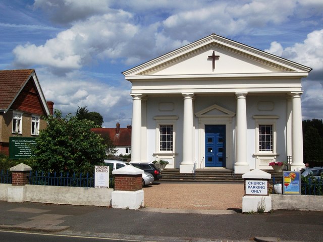
Image: © Curtis Bateman Taken: 29 Jul 2010
Taken from the opposite side of Junction Road, the road runs south to Hoadley's Corner and north towards World's End.
Images are licensed for reuse under creativecommons.org/licenses/by-sa/2.0
Image Location
Latitude
50.953931
Longitude
-0.125052