Wednesfield Christian Centre
Introduction
The photograph on this page of Wednesfield Christian Centre by Richard Law as part of the Geograph project.
The Geograph project started in 2005 with the aim of publishing, organising and preserving representative images for every square kilometre of Great Britain, Ireland and the Isle of Man.

There are currently over 7.5m images from over 14,400 individuals and you can help contribute to the project by visiting https://www.geograph.org.uk
Wednesfield Christian Centre
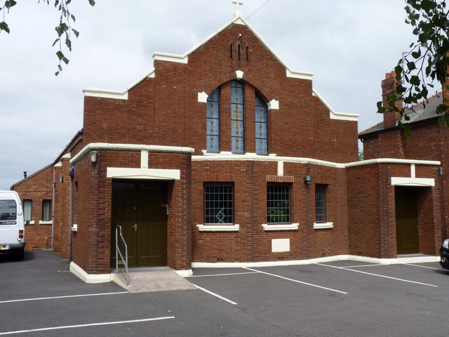
Image: © Richard Law Taken: 29 Jul 2010
Marked on the maps as a chapel, and still used as a place of worhsip, if only for 1 service a week on a Sunday evening. The sign outside also indicates an ongoing use for Marriages, Funerals and Infant Dedications "by arrangement".
Images are licensed for reuse under creativecommons.org/licenses/by-sa/2.0
Image Location
Latitude
52.598135
Longitude
-2.063441