Broadclyst: Beare
Introduction
The photograph on this page of Broadclyst: Beare by Martin Bodman as part of the Geograph project.
The Geograph project started in 2005 with the aim of publishing, organising and preserving representative images for every square kilometre of Great Britain, Ireland and the Isle of Man.

There are currently over 7.5m images from over 14,400 individuals and you can help contribute to the project by visiting https://www.geograph.org.uk
Broadclyst: Beare
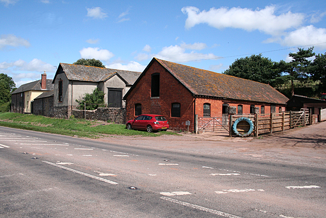
Image: © Martin Bodman Taken: 28 Jul 2010
Farm by the old turnpike road linking Cullompton with Broadclyst and Exeter. This route later became the A38 but has since been downgraded following the construction of the M5 Motorway in the 1970s
Images are licensed for reuse under creativecommons.org/licenses/by-sa/2.0
Image Location
Latitude
50.798771
Longitude
-3.439359