Broadclyst: main road
Introduction
The photograph on this page of Broadclyst: main road by Martin Bodman as part of the Geograph project.
The Geograph project started in 2005 with the aim of publishing, organising and preserving representative images for every square kilometre of Great Britain, Ireland and the Isle of Man.

There are currently over 7.5m images from over 14,400 individuals and you can help contribute to the project by visiting https://www.geograph.org.uk
Broadclyst: main road
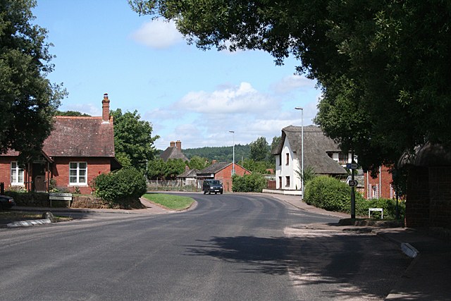
Image: © Martin Bodman Taken: 28 Jul 2010
At the crossroads with Church Close and Town Hill. The road, now the B3181, used to be the A38 Bristol-Exeter road, until it was superseded by the M5 Motorway in the 1970s. North from Broadclyst, this route was a new turnpike from about 1822, replacing the ancient highway to Exeter via Bradninch
Images are licensed for reuse under creativecommons.org/licenses/by-sa/2.0
Image Location
Latitude
50.765989
Longitude
-3.443174