Looking west along Carlton Road, Oxford
Introduction
The photograph on this page of Looking west along Carlton Road, Oxford by Brian Robert Marshall as part of the Geograph project.
The Geograph project started in 2005 with the aim of publishing, organising and preserving representative images for every square kilometre of Great Britain, Ireland and the Isle of Man.

There are currently over 7.5m images from over 14,400 individuals and you can help contribute to the project by visiting https://www.geograph.org.uk
Looking west along Carlton Road, Oxford
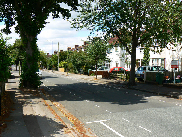
Image: © Brian Robert Marshall Taken: 28 Jul 2010
Carlton Road is a typical 1930s private housing development no different from many others. It looks much like this one http://www.geograph.org.uk/photo/1985413 However its occupiers were deemed to be under threat from the folk living in the neighbouring estate to the extent that a wall had to be put up to keep them out. Why? Because the occupiers of the latter estate were council tenants. Note. This image has a detailed ‘shared description’ which you won’t see by viewing this image on a slideshow. To read it click on the image.
Images are licensed for reuse under creativecommons.org/licenses/by-sa/2.0
Image Location
Latitude
51.787092
Longitude
-1.266813