Willow Street, Bury
Introduction
The photograph on this page of Willow Street, Bury by Bill Boaden as part of the Geograph project.
The Geograph project started in 2005 with the aim of publishing, organising and preserving representative images for every square kilometre of Great Britain, Ireland and the Isle of Man.

There are currently over 7.5m images from over 14,400 individuals and you can help contribute to the project by visiting https://www.geograph.org.uk
Willow Street, Bury
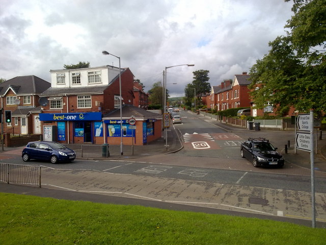
Image: © Bill Boaden Taken: 28 Jul 2010
This is where it joins Wash Lane. It used to be the obvious route from the M66 motorway to Fairfield Hospital, but it has received severe traffic-calming to stop so many people using it.
Images are licensed for reuse under creativecommons.org/licenses/by-sa/2.0
Image Location
Latitude
53.593276
Longitude
-2.276595