Fort Matilda and the Firth of Clyde
Introduction
The photograph on this page of Fort Matilda and the Firth of Clyde by Thomas Nugent as part of the Geograph project.
The Geograph project started in 2005 with the aim of publishing, organising and preserving representative images for every square kilometre of Great Britain, Ireland and the Isle of Man.

There are currently over 7.5m images from over 14,400 individuals and you can help contribute to the project by visiting https://www.geograph.org.uk
Fort Matilda and the Firth of Clyde
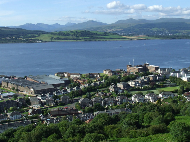
Image: © Thomas Nugent Taken: 23 Jul 2010
The railway station is to the lower left, the former torpedo factory (somewhat reduced in size in the 1980s) is to the left and the Navy Buildings and HM Coastguard Station to the right. The tip of the Rosneath Peninsula and the Arrochar Alps are in the distance.
Images are licensed for reuse under creativecommons.org/licenses/by-sa/2.0
Image Location
Latitude
55.961923
Longitude
-4.794515