Farm buildings, Plumley
Introduction
The photograph on this page of Farm buildings, Plumley by Derek Harper as part of the Geograph project.
The Geograph project started in 2005 with the aim of publishing, organising and preserving representative images for every square kilometre of Great Britain, Ireland and the Isle of Man.

There are currently over 7.5m images from over 14,400 individuals and you can help contribute to the project by visiting https://www.geograph.org.uk
Farm buildings, Plumley
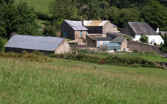
Image: © Derek Harper Taken: 25 Jul 2010
http://www.britishlistedbuildings.co.uk/en-84469-range-of-outbuildings-about-20-metres-wes describes the group of buildings that are of particular architectural interest as U-shaped, though it's hard to discern that pattern from this angle, viewed from Hatherleigh Lane.
Images are licensed for reuse under creativecommons.org/licenses/by-sa/2.0
Image Location
Latitude
50.608238
Longitude
-3.69726