Gateway, Walbottle Community Orchard
Introduction
The photograph on this page of Gateway, Walbottle Community Orchard by Andrew Curtis as part of the Geograph project.
The Geograph project started in 2005 with the aim of publishing, organising and preserving representative images for every square kilometre of Great Britain, Ireland and the Isle of Man.

There are currently over 7.5m images from over 14,400 individuals and you can help contribute to the project by visiting https://www.geograph.org.uk
Gateway, Walbottle Community Orchard
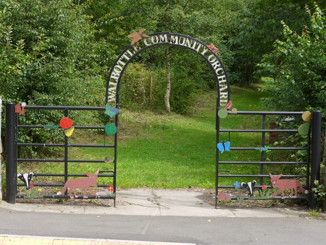
Image: © Andrew Curtis Taken: 23 Jul 2010
The gateway to Image leads off Walbottle Road close to Dene Terrace. The metal wildlife designs were based on paintings by local school children.
Images are licensed for reuse under creativecommons.org/licenses/by-sa/2.0
Image Location


Leaflet Map data © OpenStreetMap
Latitude
54.98687
Longitude
-1.737121