Cropland at No 51 Ballybannon Road
Introduction
The photograph on this page of Cropland at No 51 Ballybannon Road by Eric Jones as part of the Geograph project.
The Geograph project started in 2005 with the aim of publishing, organising and preserving representative images for every square kilometre of Great Britain, Ireland and the Isle of Man.

There are currently over 7.5m images from over 14,400 individuals and you can help contribute to the project by visiting https://www.geograph.org.uk
Cropland at No 51 Ballybannon Road
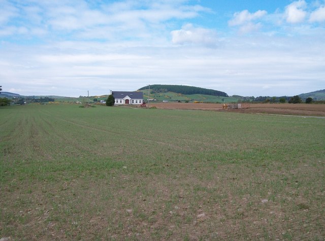
Image: © Eric Jones Taken: 13 May 2010
These fields, flat as a table, are made for intensive arable farming. The hill in the background is Bunkers Hill at Castlewellan.
Images are licensed for reuse under creativecommons.org/licenses/by-sa/2.0
Image Location
Latitude
54.255771
Longitude
-5.902874