View to the Severn
Introduction
The photograph on this page of View to the Severn by Jonathan Billinger as part of the Geograph project.
The Geograph project started in 2005 with the aim of publishing, organising and preserving representative images for every square kilometre of Great Britain, Ireland and the Isle of Man.

There are currently over 7.5m images from over 14,400 individuals and you can help contribute to the project by visiting https://www.geograph.org.uk
View to the Severn
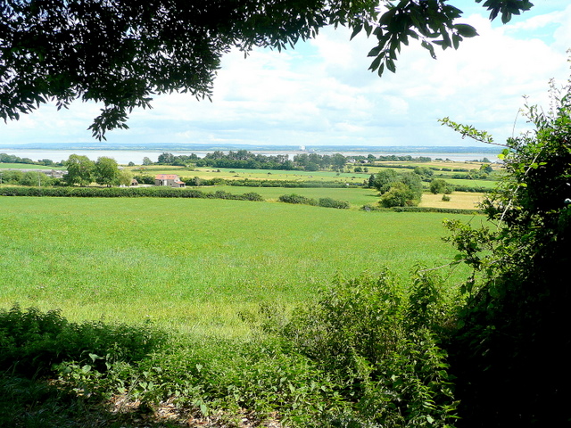
Image: © Jonathan Billinger Taken: 22 Jul 2010
Looking south-east from Tidenham beyond the A48 and the estuary to Oldbury Power Station in the distance.
Images are licensed for reuse under creativecommons.org/licenses/by-sa/2.0
Image Location
Latitude
51.660143
Longitude
-2.638949