Fraddon Main Street
Introduction
The photograph on this page of Fraddon Main Street by Tony Atkin as part of the Geograph project.
The Geograph project started in 2005 with the aim of publishing, organising and preserving representative images for every square kilometre of Great Britain, Ireland and the Isle of Man.

There are currently over 7.5m images from over 14,400 individuals and you can help contribute to the project by visiting https://www.geograph.org.uk
Fraddon Main Street
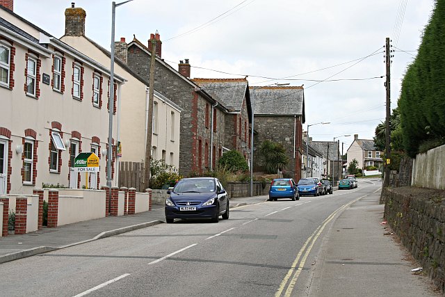
Image: © Tony Atkin Taken: 8 Jul 2006
There is a mixture of housing here. Modern houses in the foreground; a large building which has been converted to residential use in the mid distance and in the far distancel, older housing.
Images are licensed for reuse under creativecommons.org/licenses/by-sa/2.0
Image Location


Leaflet Map data © OpenStreetMap
Latitude
50.387424
Longitude
-4.93865