Sharp bend and road junction on the B180 at Maghera
Introduction
The photograph on this page of Sharp bend and road junction on the B180 at Maghera by Eric Jones as part of the Geograph project.
The Geograph project started in 2005 with the aim of publishing, organising and preserving representative images for every square kilometre of Great Britain, Ireland and the Isle of Man.

There are currently over 7.5m images from over 14,400 individuals and you can help contribute to the project by visiting https://www.geograph.org.uk
Sharp bend and road junction on the B180 at Maghera
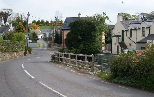
Image: © Eric Jones Taken: 13 May 2010
This coupled with the lack of pavements make this a dangerous section of the Newcastle Challenge Trail. However, there is the distinct advantage of the nearby Maghera Inn (seen on the right) which is described as the "perfect little country pub". http://www.themagherainn.com/
Images are licensed for reuse under creativecommons.org/licenses/by-sa/2.0
Image Location
Latitude
54.241596
Longitude
-5.898991