Dundonald Close, Woolston
Introduction
The photograph on this page of Dundonald Close, Woolston by Rob Candlish as part of the Geograph project.
The Geograph project started in 2005 with the aim of publishing, organising and preserving representative images for every square kilometre of Great Britain, Ireland and the Isle of Man.

There are currently over 7.5m images from over 14,400 individuals and you can help contribute to the project by visiting https://www.geograph.org.uk
Dundonald Close, Woolston
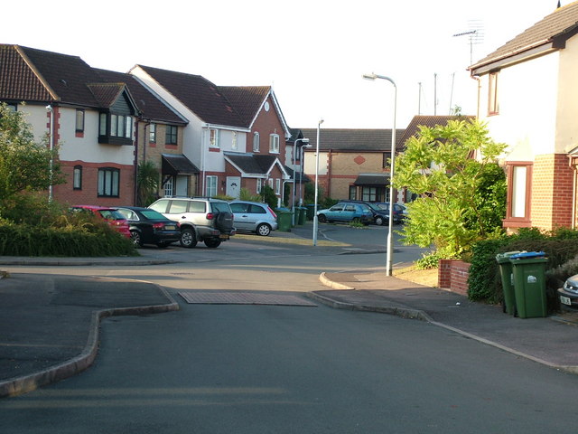
Image: © Rob Candlish Taken: 28 Jul 2010
A view of Dundonald Close, Woolston from its junction with Victoria Road. The masts of sailing boats in the nearby boatyard can be seen poking up above the houses on the right hand side in the background.
Images are licensed for reuse under creativecommons.org/licenses/by-sa/2.0
Image Location
Latitude
50.889467
Longitude
-1.381506