The Fox Inn
Introduction
The photograph on this page of The Fox Inn by David Rogers as part of the Geograph project.
The Geograph project started in 2005 with the aim of publishing, organising and preserving representative images for every square kilometre of Great Britain, Ireland and the Isle of Man.

There are currently over 7.5m images from over 14,400 individuals and you can help contribute to the project by visiting https://www.geograph.org.uk
The Fox Inn
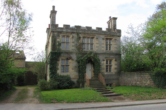
Image: © David Rogers Taken: 28 Apr 2010
O.S. 1st edition shows a T-plan church here, indicated as 'R.C. Chapel'. This building, built in 1847, is named St. Mary's on the O.S. map of 1910 though it is now dedicated to St. Brigid http://www.rathkennyparish.ie/index.php/masses/grangegeeth .
Images are licensed for reuse under creativecommons.org/licenses/by-sa/2.0
Image Location
Latitude
53.875367
Longitude
-1.351946