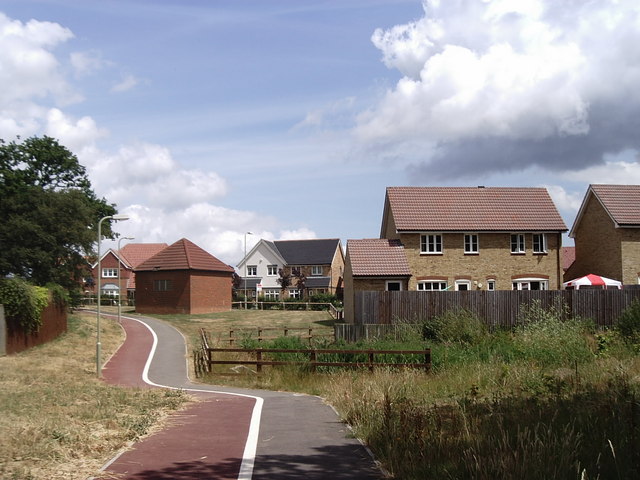
Lucilla Avenue, Kingsnorth
Introduction
The photograph on this page of Lucilla Avenue, Kingsnorth by David Kemp as part of the Geograph project.
The Geograph project started in 2005 with the aim of publishing, organising and preserving representative images for every square kilometre of Great Britain, Ireland and the Isle of Man.
There are currently over 7.5m images from over 14,400 individuals and you can help contribute to the project by visiting https://www.geograph.org.uk

Image: © David Kemp Taken: 8 Jul 2006
This gridsquare was open fields until fairly recently but its north-western corner has now been largely built over as Ashford continues to expand. The building on the left is part of the electricity distribution network of EDF Energy. Taken from Pound Lane which still forms a border with open country.

