The derelict Crouch End station, Parkland Walk
Introduction
The photograph on this page of The derelict Crouch End station, Parkland Walk by Robert Lamb as part of the Geograph project.
The Geograph project started in 2005 with the aim of publishing, organising and preserving representative images for every square kilometre of Great Britain, Ireland and the Isle of Man.

There are currently over 7.5m images from over 14,400 individuals and you can help contribute to the project by visiting https://www.geograph.org.uk
The derelict Crouch End station, Parkland Walk
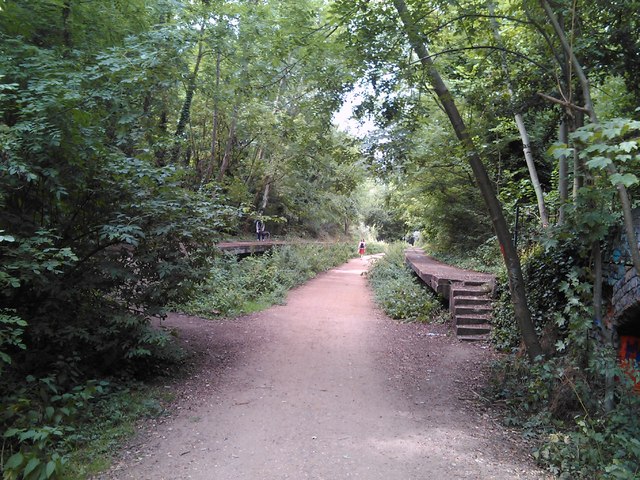
Image: © Robert Lamb Taken: 27 Jul 2010
The platforms of the derelict Crouch End station still survive on Parkland Walk, which until 1982 was a railway line. The nearest modern day equivalent is Crouch Hill station on the Barking branch of the London Overground (formerly the North London Line) on the nearby road of the same name (it passes over Parkland Walk on the next bridge behind the photographer). Looking west-northwest from just before the Crouch End Hill bridge.
Images are licensed for reuse under creativecommons.org/licenses/by-sa/2.0
Image Location
Latitude
51.574711
Longitude
-0.125162