Downton Bridge
Introduction
The photograph on this page of Downton Bridge by Maigheach-gheal as part of the Geograph project.
The Geograph project started in 2005 with the aim of publishing, organising and preserving representative images for every square kilometre of Great Britain, Ireland and the Isle of Man.

There are currently over 7.5m images from over 14,400 individuals and you can help contribute to the project by visiting https://www.geograph.org.uk
Downton Bridge
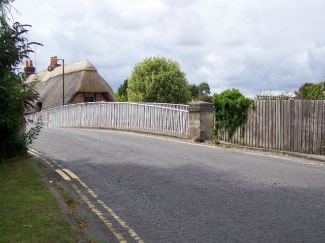
Image: © Maigheach-gheal Taken: 27 Jul 2010
The bridge takes the B3080 over the River Avon. There is an Ordnance Survey bench mark on the right hand pillar.
Images are licensed for reuse under creativecommons.org/licenses/by-sa/2.0
Image Location
Latitude
50.993705
Longitude
-1.748029