Old railway bridge at Llanyblodwel
Introduction
The photograph on this page of Old railway bridge at Llanyblodwel by Richard Law as part of the Geograph project.
The Geograph project started in 2005 with the aim of publishing, organising and preserving representative images for every square kilometre of Great Britain, Ireland and the Isle of Man.

There are currently over 7.5m images from over 14,400 individuals and you can help contribute to the project by visiting https://www.geograph.org.uk
Old railway bridge at Llanyblodwel
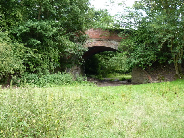
Image: © Richard Law Taken: 22 Jul 2010
The bridge takes the A495 across the old railway line, which linked the track to the north through the Tanat valley with that to the south in the Cain valley. It's a fair bet that most of the disused lines here fell victim to the wonderfully visionary Doctor Beeching in the 1960s.
Images are licensed for reuse under creativecommons.org/licenses/by-sa/2.0
Image Location
Latitude
52.793757
Longitude
-3.113103