River Crane, Richmond/Hounslow boundary
Introduction
The photograph on this page of River Crane, Richmond/Hounslow boundary by David Hawgood as part of the Geograph project.
The Geograph project started in 2005 with the aim of publishing, organising and preserving representative images for every square kilometre of Great Britain, Ireland and the Isle of Man.

There are currently over 7.5m images from over 14,400 individuals and you can help contribute to the project by visiting https://www.geograph.org.uk
River Crane, Richmond/Hounslow boundary
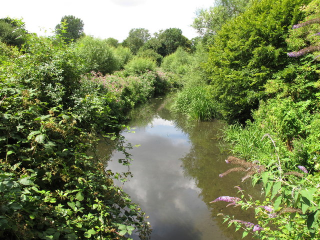
Image: © David Hawgood Taken: 24 Jul 2010
This apparently rural scene is in Crane Park, just 100 metres wide with the river, a path, and bushy woodland.
Images are licensed for reuse under creativecommons.org/licenses/by-sa/2.0
Image Location
Latitude
51.44397
Longitude
-0.379181