The top of Swannington Incline
Introduction
The photograph on this page of The top of Swannington Incline by Richard Green as part of the Geograph project.
The Geograph project started in 2005 with the aim of publishing, organising and preserving representative images for every square kilometre of Great Britain, Ireland and the Isle of Man.

There are currently over 7.5m images from over 14,400 individuals and you can help contribute to the project by visiting https://www.geograph.org.uk
The top of Swannington Incline
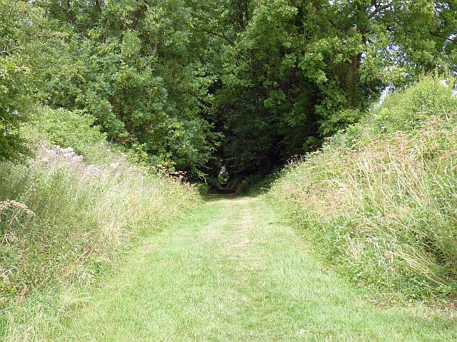
Image: © Richard Green Taken: 24 Jul 2010
The view from the top of the Swannington Incline, which descended for almost half a mile at a 1 in 17 gradient to mines at Swannington. Loaded wagons of coal were pulled up by cable using a steam engine as power. The mines closed in 1892, but the incline continued in use, this time to lower wagon loads of coal for the boilers of a large pumping engine installed at the Calcutta shaft, until 1947.
Images are licensed for reuse under creativecommons.org/licenses/by-sa/2.0
Image Location
Latitude
52.738668
Longitude
-1.379798