Trackbed towards Lount
Introduction
The photograph on this page of Trackbed towards Lount by Richard Green as part of the Geograph project.
The Geograph project started in 2005 with the aim of publishing, organising and preserving representative images for every square kilometre of Great Britain, Ireland and the Isle of Man.

There are currently over 7.5m images from over 14,400 individuals and you can help contribute to the project by visiting https://www.geograph.org.uk
Trackbed towards Lount
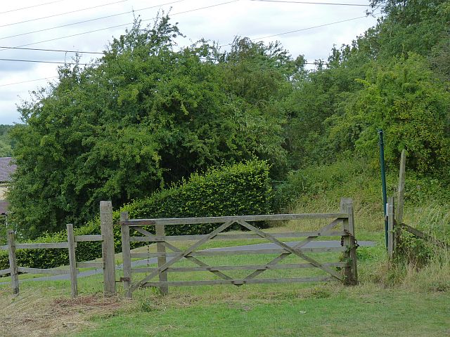
Image: © Richard Green Taken: 24 Jul 2010
The trackbed of the Swannington and Worthington Rough Railway, somewhat overgrown since closure in 1872, viewed towards Lount across the site of Stoney Lane level crossing.
Images are licensed for reuse under creativecommons.org/licenses/by-sa/2.0
Image Location
Latitude
52.756717
Longitude
-1.395115