Bradninch Footpath 7
Introduction
The photograph on this page of Bradninch Footpath 7 by Derek Harper as part of the Geograph project.
The Geograph project started in 2005 with the aim of publishing, organising and preserving representative images for every square kilometre of Great Britain, Ireland and the Isle of Man.

There are currently over 7.5m images from over 14,400 individuals and you can help contribute to the project by visiting https://www.geograph.org.uk
Bradninch Footpath 7
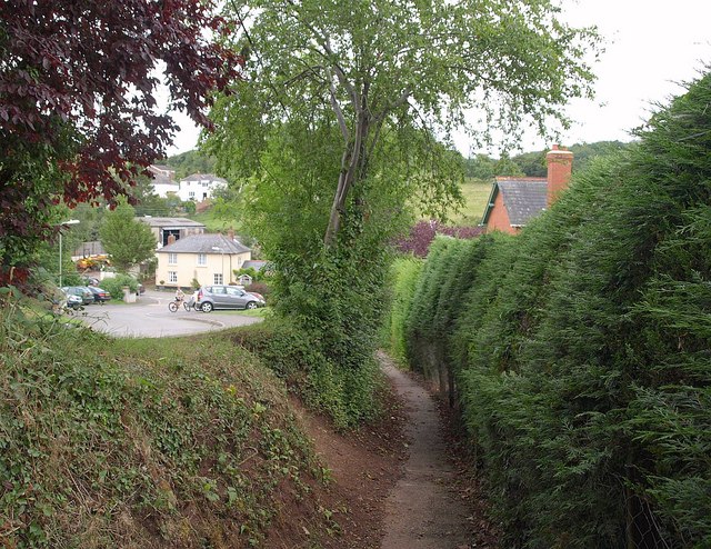
Image: © Derek Harper Taken: 23 Jul 2010
The footpath continues the line of Culver Close, running down to meet Parsonage Street alongside Hornbeam Gardens (left).
Images are licensed for reuse under creativecommons.org/licenses/by-sa/2.0
Image Location
Latitude
50.827891
Longitude
-3.418814