Watercourse below Coombe
Introduction
The photograph on this page of Watercourse below Coombe by Derek Harper as part of the Geograph project.
The Geograph project started in 2005 with the aim of publishing, organising and preserving representative images for every square kilometre of Great Britain, Ireland and the Isle of Man.

There are currently over 7.5m images from over 14,400 individuals and you can help contribute to the project by visiting https://www.geograph.org.uk
Watercourse below Coombe
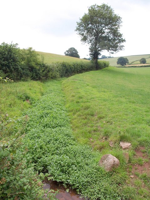
Image: © Derek Harper Taken: 23 Jul 2010
Seen from the stretch of road shown in Image The watercourse, lmost full of watercress, has been channelled along the side rather than the foot of the valley, creating a leat, presumably as part of a watering system.
Images are licensed for reuse under creativecommons.org/licenses/by-sa/2.0
Image Location
Latitude
50.819345
Longitude
-3.440986