View from Tumbling Bay Bridge
Introduction
The photograph on this page of View from Tumbling Bay Bridge by Rob Candlish as part of the Geograph project.
The Geograph project started in 2005 with the aim of publishing, organising and preserving representative images for every square kilometre of Great Britain, Ireland and the Isle of Man.

There are currently over 7.5m images from over 14,400 individuals and you can help contribute to the project by visiting https://www.geograph.org.uk
View from Tumbling Bay Bridge
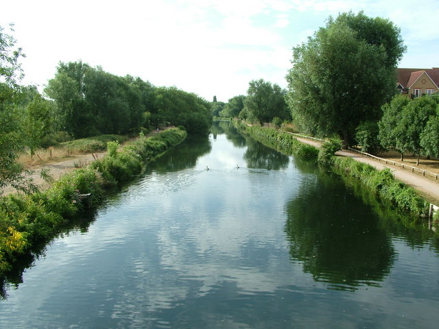
Image: © Rob Candlish Taken: 27 Jul 2010
Looking towards Hardmead Lock along the River Lea Navigation from Tumbling Bay Bridge. The bridge is actually hard to classify since the northern boundary of grid square TL3613 cuts diagonally across it and part of the bridge is in grid square TL3614.
Images are licensed for reuse under creativecommons.org/licenses/by-sa/2.0
Image Location
Latitude
51.807089
Longitude
-0.021973