Buryfield Road, Ware
Introduction
The photograph on this page of Buryfield Road, Ware by Rob Candlish as part of the Geograph project.
The Geograph project started in 2005 with the aim of publishing, organising and preserving representative images for every square kilometre of Great Britain, Ireland and the Isle of Man.

There are currently over 7.5m images from over 14,400 individuals and you can help contribute to the project by visiting https://www.geograph.org.uk
Buryfield Road, Ware
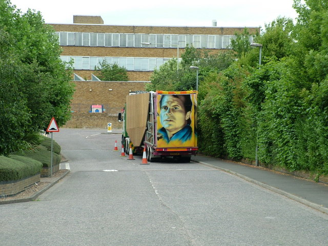
Image: © Rob Candlish Taken: 6 Jul 2010
This road is not marked on any Ordnance Survey map. The yellow brick building in the background is the former Rank Cintel centre which fronts onto Watton Road. This is the back of the building and Park Road is running from left to right beside it.
Images are licensed for reuse under creativecommons.org/licenses/by-sa/2.0
Image Location
Latitude
51.81257
Longitude
-0.037836