Rip-rap on the Thames estuary at Hampton
Introduction
The photograph on this page of Rip-rap on the Thames estuary at Hampton by Stephen Craven as part of the Geograph project.
The Geograph project started in 2005 with the aim of publishing, organising and preserving representative images for every square kilometre of Great Britain, Ireland and the Isle of Man.

There are currently over 7.5m images from over 14,400 individuals and you can help contribute to the project by visiting https://www.geograph.org.uk
Rip-rap on the Thames estuary at Hampton
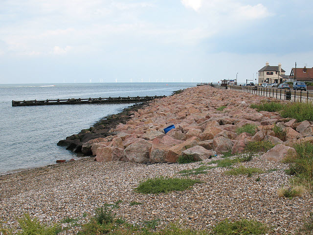
Image: © Stephen Craven Taken: 24 Jul 2010
Looking north towards Hampton Pier, and in the far distance the offshore windfarm. See also Image and Image
Images are licensed for reuse under creativecommons.org/licenses/by-sa/2.0
Image Location
Latitude
51.370859
Longitude
1.098465