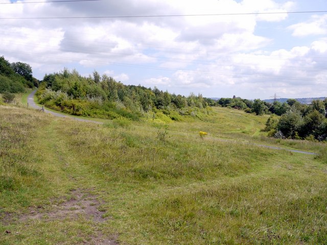
Percy Pit Local Nature Reserve
Introduction
The photograph on this page of Percy Pit Local Nature Reserve by Andrew Curtis as part of the Geograph project.
The Geograph project started in 2005 with the aim of publishing, organising and preserving representative images for every square kilometre of Great Britain, Ireland and the Isle of Man.
There are currently over 7.5m images from over 14,400 individuals and you can help contribute to the project by visiting https://www.geograph.org.uk

Image: © Andrew Curtis Taken: 23 Jul 2010
Percy Pit lies between Newburn and Lemington. Much of the site is grassland, some cut short for recreational use, the remainder left long to encourage wildlife. Hadrians' Way, the walkway/cycleway runs along the southern boundary of Percy Pit just above the road. It was designated as a Site of Nature Conservation Importance (SNCI) due to its grassland butterflies which include the Dingy Skipper.

