Forestry plantation
Introduction
The photograph on this page of Forestry plantation by John Haynes as part of the Geograph project.
The Geograph project started in 2005 with the aim of publishing, organising and preserving representative images for every square kilometre of Great Britain, Ireland and the Isle of Man.

There are currently over 7.5m images from over 14,400 individuals and you can help contribute to the project by visiting https://www.geograph.org.uk
Forestry plantation
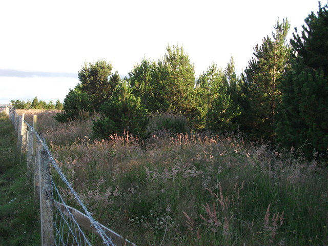
Image: © John Haynes Taken: 9 Jul 2010
A mixed forestry plantation fenced against cattle and sheep. No trees grow naturally in this area, all the major areas of woodland have been planted recently,(in the last 30 years). This small plantation will help break up the wind blowing off Loch a Tuath.
Images are licensed for reuse under creativecommons.org/licenses/by-sa/2.0
Image Location
Latitude
58.233574
Longitude
-6.380908