Road sign on the approach to Amwell Roundabout
Introduction
The photograph on this page of Road sign on the approach to Amwell Roundabout by Rob Candlish as part of the Geograph project.
The Geograph project started in 2005 with the aim of publishing, organising and preserving representative images for every square kilometre of Great Britain, Ireland and the Isle of Man.

There are currently over 7.5m images from over 14,400 individuals and you can help contribute to the project by visiting https://www.geograph.org.uk
Road sign on the approach to Amwell Roundabout
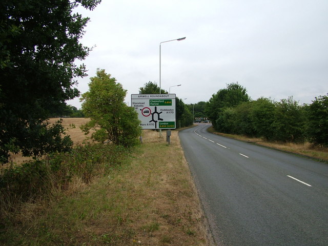
Image: © Rob Candlish Taken: 25 Jul 2010
View from the B1502 looking towards the roundabout. The eastern boundary of this particular grid square actually passes through the roundabout itself.
Images are licensed for reuse under creativecommons.org/licenses/by-sa/2.0
Image Location


Leaflet Map data © OpenStreetMap
Latitude
51.787216
Longitude
-0.016607