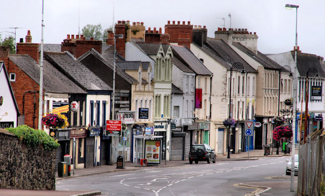
High Street, Antrim
Introduction
The photograph on this page of High Street, Antrim by Albert Bridge as part of the Geograph project.
The Geograph project started in 2005 with the aim of publishing, organising and preserving representative images for every square kilometre of Great Britain, Ireland and the Isle of Man.
There are currently over 7.5m images from over 14,400 individuals and you can help contribute to the project by visiting https://www.geograph.org.uk

Image: © Albert Bridge Taken: 25 Jul 2010
Once upon a time Antrim was a small country town with a population of about 2,500. Then, in the late 60’s/early 70’s it was designated as a “growth town” based on employment provided by the (now closed) British Enkalon factory. The population grew nearly tenfold but somebody forgot that more people needed more shops so High Street remains much the same as 45 years ago. Security barriers during the bombing campaign and the success of nearby Ballymena didn’t help much either. See also Image and Image

