Murton Blue House
Introduction
The photograph on this page of Murton Blue House by Philip Barker as part of the Geograph project.
The Geograph project started in 2005 with the aim of publishing, organising and preserving representative images for every square kilometre of Great Britain, Ireland and the Isle of Man.

There are currently over 7.5m images from over 14,400 individuals and you can help contribute to the project by visiting https://www.geograph.org.uk
Murton Blue House
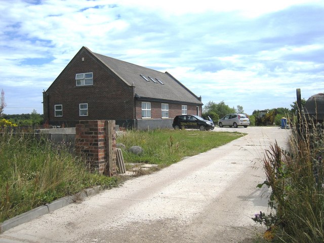
Image: © Philip Barker Taken: 25 Jul 2010
This photograph shows a view of Murton Blue House as seen from the public footpath and bridleway that runs pass the west side of the property. The picture was taken looking in an east-south-easterly direction towards the Castle Eden Walkway and Murton East Farm.
Images are licensed for reuse under creativecommons.org/licenses/by-sa/2.0
Image Location
Latitude
54.688423
Longitude
-1.369081