Shap Memorial Park
Introduction
The photograph on this page of Shap Memorial Park by Bill Boaden as part of the Geograph project.
The Geograph project started in 2005 with the aim of publishing, organising and preserving representative images for every square kilometre of Great Britain, Ireland and the Isle of Man.

There are currently over 7.5m images from over 14,400 individuals and you can help contribute to the project by visiting https://www.geograph.org.uk
Shap Memorial Park
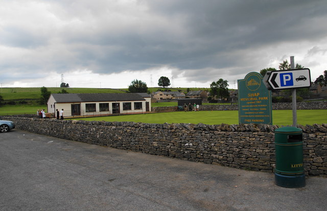
Image: © Bill Boaden Taken: 23 Jul 2010
This is next to the sports hall, which is clearly under threat. As well as the bowling green, there are tennis courts and a playing field.
Images are licensed for reuse under creativecommons.org/licenses/by-sa/2.0
Image Location
Latitude
54.528752
Longitude
-2.675364