Farm track (Wolds Way footpath heading east)
Introduction
The photograph on this page of Farm track (Wolds Way footpath heading east) by JThomas as part of the Geograph project.
The Geograph project started in 2005 with the aim of publishing, organising and preserving representative images for every square kilometre of Great Britain, Ireland and the Isle of Man.

There are currently over 7.5m images from over 14,400 individuals and you can help contribute to the project by visiting https://www.geograph.org.uk
Farm track (Wolds Way footpath heading east)
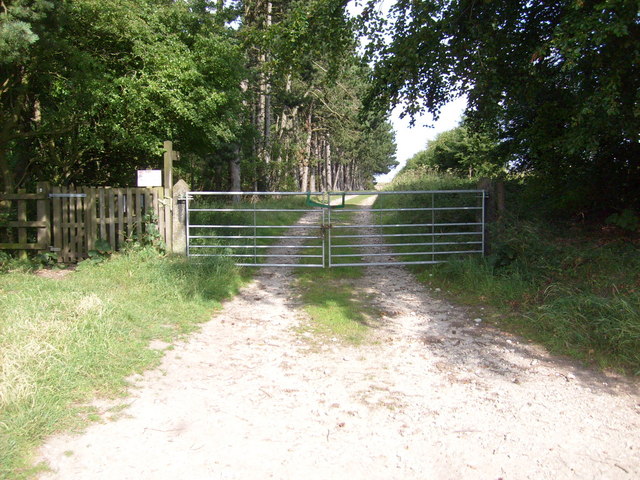
Image: © JThomas Taken: 24 Jul 2010
Images are licensed for reuse under creativecommons.org/licenses/by-sa/2.0
Image Location
Latitude
54.160668
Longitude
-0.606482