Wareham, open ground
Introduction
The photograph on this page of Wareham, open ground by Mike Faherty as part of the Geograph project.
The Geograph project started in 2005 with the aim of publishing, organising and preserving representative images for every square kilometre of Great Britain, Ireland and the Isle of Man.

There are currently over 7.5m images from over 14,400 individuals and you can help contribute to the project by visiting https://www.geograph.org.uk
Wareham, open ground
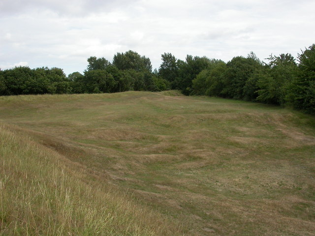
Image: © Mike Faherty Taken: 24 Jul 2010
In the north-eastern corner of the town walls. Unevenness probably caused by gravel or sand extraction; the bright green area was once a bowling green.
Images are licensed for reuse under creativecommons.org/licenses/by-sa/2.0
Image Location


Leaflet Map data © OpenStreetMap
Latitude
50.690159
Longitude
-2.109379