Pine Plantation and B6309 road
Introduction
The photograph on this page of Pine Plantation and B6309 road by Clive Nicholson as part of the Geograph project.
The Geograph project started in 2005 with the aim of publishing, organising and preserving representative images for every square kilometre of Great Britain, Ireland and the Isle of Man.

There are currently over 7.5m images from over 14,400 individuals and you can help contribute to the project by visiting https://www.geograph.org.uk
Pine Plantation and B6309 road
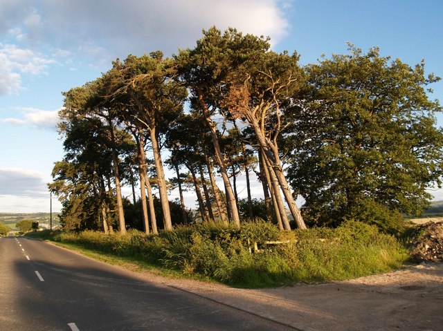
Image: © Clive Nicholson Taken: 7 Jul 2006
Pine Plantation adjacent to Whittonstall Hall Farm on B6309 south of Whittonstall village.
Images are licensed for reuse under creativecommons.org/licenses/by-sa/2.0
Image Location
Latitude
54.90496
Longitude
-1.879885