London Road, Great Amwell
Introduction
The photograph on this page of London Road, Great Amwell by Rob Candlish as part of the Geograph project.
The Geograph project started in 2005 with the aim of publishing, organising and preserving representative images for every square kilometre of Great Britain, Ireland and the Isle of Man.

There are currently over 7.5m images from over 14,400 individuals and you can help contribute to the project by visiting https://www.geograph.org.uk
London Road, Great Amwell
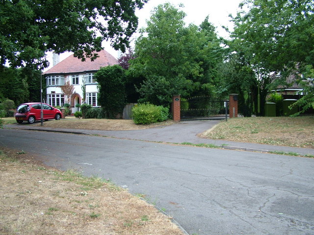
Image: © Rob Candlish Taken: 25 Jul 2010
Houses at the Amwell Hill end of London Road, now a cul de sac. It was replaced as a through road by the unnamed B1502, which runs beside it and was built in the 1970s at the same time as the dual carriageway A10.
Images are licensed for reuse under creativecommons.org/licenses/by-sa/2.0
Image Location
Latitude
51.787665
Longitude
-0.016588