Sluice on the New River
Introduction
The photograph on this page of Sluice on the New River by Rob Candlish as part of the Geograph project.
The Geograph project started in 2005 with the aim of publishing, organising and preserving representative images for every square kilometre of Great Britain, Ireland and the Isle of Man.

There are currently over 7.5m images from over 14,400 individuals and you can help contribute to the project by visiting https://www.geograph.org.uk
Sluice on the New River
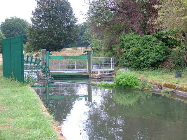
Image: © Rob Candlish Taken: 25 Jul 2010
This sluice near Great Amwell is used to control the flow of water in the New River. On certain large scale Ordnance Survey maps it is incorrectly marked as a footbridge. As can be seen it is heavily fenced and there is no public access from the riverbank.
Images are licensed for reuse under creativecommons.org/licenses/by-sa/2.0
Image Location
Latitude
51.797209
Longitude
-0.017329