Benchmark on St Oswald's Church
Introduction
The photograph on this page of Benchmark on St Oswald's Church by Roger Templeman as part of the Geograph project.
The Geograph project started in 2005 with the aim of publishing, organising and preserving representative images for every square kilometre of Great Britain, Ireland and the Isle of Man.

There are currently over 7.5m images from over 14,400 individuals and you can help contribute to the project by visiting https://www.geograph.org.uk
Benchmark on St Oswald's Church
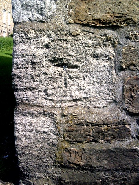
Image: © Roger Templeman Taken: 23 Jul 2010
Ordnance Survey '1GL bolt' benchmark on the tower of the church. The cut marks are slightly eroded which isn't too surprising given they were cut in 1845. For more details of the mark see the Bench Mark Database at http://www.bench-marks.org.uk/bm25269
Images are licensed for reuse under creativecommons.org/licenses/by-sa/2.0
Image Location


Leaflet Map data © OpenStreetMap
Latitude
54.314653
Longitude
-2.082203