Grazing sheep west of The Square
Introduction
The photograph on this page of Grazing sheep west of The Square by Eric Jones as part of the Geograph project.
The Geograph project started in 2005 with the aim of publishing, organising and preserving representative images for every square kilometre of Great Britain, Ireland and the Isle of Man.

There are currently over 7.5m images from over 14,400 individuals and you can help contribute to the project by visiting https://www.geograph.org.uk
Grazing sheep west of The Square
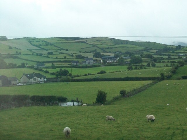
Image: © Eric Jones Taken: 10 Jul 2010
The Square is a hamlet at the junction of Castlewellan and Hilltown roads.
Images are licensed for reuse under creativecommons.org/licenses/by-sa/2.0
Image Location
Latitude
54.233402
Longitude
-6.053094